Green Country's premier land surveyors since 1940.
Surveying Done Right. Call White.
We have grown from our humble beginnings as a small, mortgage surveying company to one of the largest, full-service surveying companies in the area.
Boundary & ALTA Survey Services Throughout Green Country
White Surveying has provided accurate and reliable land surveying services since 1940. Do you need a boundary survey for fence installation? Planning commercial development requiring ALTA surveys? Our firm combines 80+ years of proven expertise with service for both residential and commercial clients.
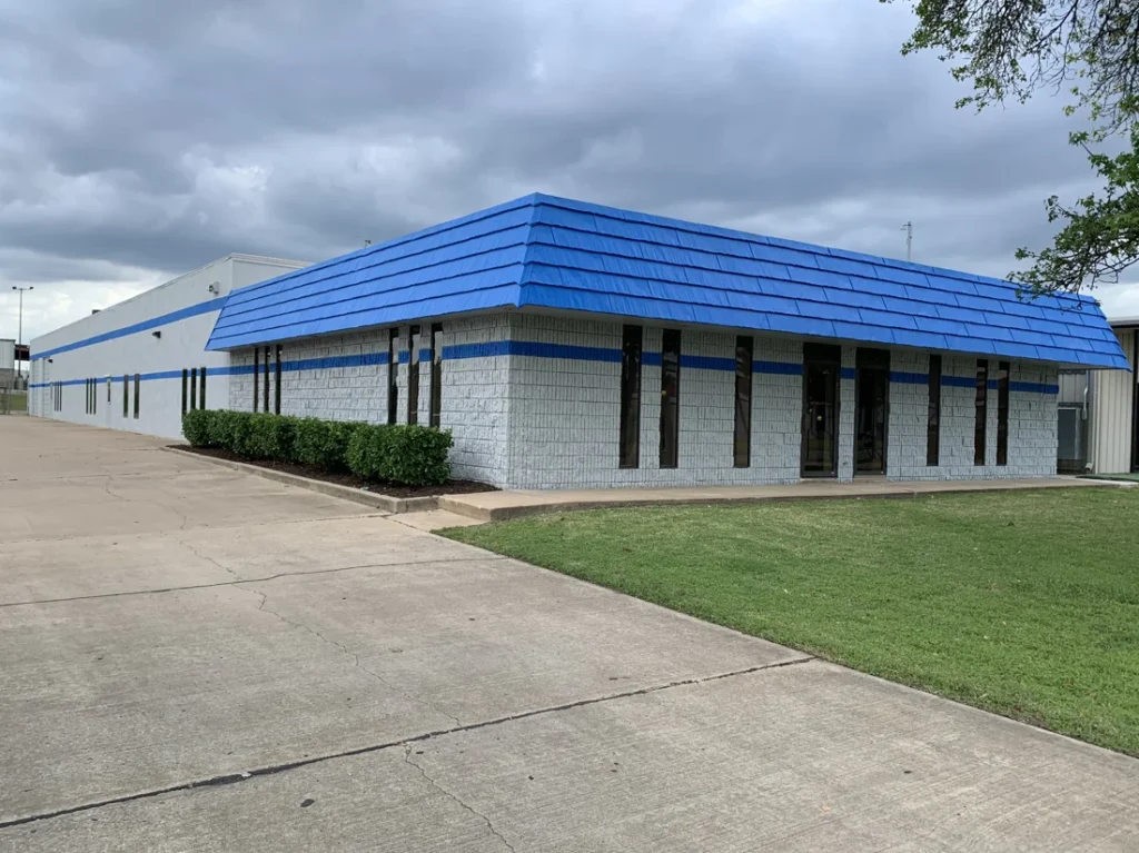
We serve Northeast Oklahoma with the integrity and excellence that comes from deep community roots. We are the surveyors that property owners in the Greater Tulsa area trust for dependable results, delivered on time and within budget.
Why Choose White Surveying Company?
Modern Techniques & Professional Excellence
Founded in 1940, we combine more than 80 years of professional tradition with modern surveying techniques. Our community roots and commitment to integrity mean we do what’s right, every time.
Dependable Results On Time & Budget
Clients rely on us for reliable service delivered on time. We hold ourselves to the highest standards in accuracy and service, ensuring your project stays on schedule and within budget.
No Drawing Fees
We provide all documentation, including detailed maps, legal descriptions, and certifications, as part of our standard price.
Northeast Oklahoma Community Focus
We’re proud to serve and support the growth of Northeast Oklahoma and the surrounding areas. This local focus gives us a deep understanding of regional surveying challenges and requirements.
Licensed & Insured Professionals
Oklahoma-licensed surveyors with comprehensive insurance coverage. Every survey includes official seals and Certificate of Authorization numbers required by law.
Decades of Experience
We support our clients with decades of expertise and are proud to share our knowledge with our customers and our community. Our President and Owner, John Libby, brings over 35 years of experience in boundary, design, and topographic surveys for multi-family developments, commercial, retail, office and manufacturing sites.

SINCE 1940
Survey Services
Boundary Surveys
- Determine property boundaries and set or find corners.
- Needed by homeowners for fence installation, neighbor disputes, and property improvements.
- Usually required for real estate transactions.
ALTA/NSPS Land Title Surveys
- Commercial surveys that meet title insurance requirements.
- Used by title companies, developers, attorneys, and lenders for complex property transactions and commercial purchases.
Topographic Surveys
- Map elevations and contours for design purposes.
- Required by engineers and architects for new construction, drainage planning, and ADA compliance projects.
Elevation Certificates & LOMA
- Determine flood zone status based on Base Flood Elevation.
- Needed by property owners seeking flood insurance reductions or LOMA applications to remove flood zone requirements.
Subdivision Design & Platting
- Convert raw land into legally divided parcels.
- Required by developers and landowners creating new subdivisions for municipal approval and recordation.
Mortgage Inspection Reports
- Informal reports confirming property improvements match the title documents.
- Required by mortgage lenders to verify property conditions and identify potential issues.
How We Handle Your Survey
Step 1: Consultation
We discuss your needs and property details. We’ll recommend the appropriate survey type and provide a detailed quote.
Step 2: Research
We review property records, previous surveys, and legal documents. Our prep work identifies potential issues before work begins.
Step 3: Field Work
Surveyors measure your property using precision equipment. We locate existing markers and set new corner monuments when needed.
Step 4: Documentation
We create detailed survey maps and legal descriptions. Every survey gets reviewed by licensed professionals before delivery.
Step 5: Delivery
Receive a complete documentation package with ongoing support for questions about your survey results.
About Us
White Surveying was established in 1940 by W. Kirk White. Kirk grew the business until his death in 1956, after which his family formed a partnership with Earl Denton. The company was renamed Denton & White Surveying.
Upon Earl’s death in 1964, Kirk’s widow, Lorraine White, and his son, David C. White, established a partnership and returned the company to its original name. Following Lorraine’s death in 1975, David became the sole owner of White Surveying.
Paula Koehn and John Libby moved from the Dallas/Fort Worth area to Tulsa in 2013 to be closer to family and founded Route 66 Surveying. About the time it became obvious they needed to make a major step up in size to continue to serve their growing client base, Paula and John learned about the possibility of acquiring White Surveying Company.
With its 80-year history, long-time loyal employees, and deep ties to the community, Paula and John decided this was an opportunity they had to take advantage of. In September of 2020 they purchased White Surveying from David White.
Our Experts
John L. Libby, Jr., PLS, CFedS
Owner and President
John has over 35 years of experience in boundary, design, and topographic surveys for multi-family developments, commercial, retail, office and manufacturing sites. He is a Professional Land Surveyor in both Oklahoma and Texas and a Certified Federal Surveyor. He spent seven years in the oil and gas industry, determining lease lines and preparing exhibits for permitting gas wells on approximately 25,000 acres. John has performed route surveys and aerial control surveys for multiple highway projects and over 150 miles of light rail projects, as well as design, right-of-way and as-built surveys for approximately 36 miles of pipeline. He has experience with construction layout surveying for residential streets and utilities, multistory office buildings and retail sites.
Professional Registrations:
- Oklahoma Professional Land Surveyor #1806
- Texas Registered Professional Land Surveyor #6120
- Certified Federal Surveyor #1578
Professional Associations:
- Oklahoma Society of Land Surveyors
- Texas Society of Professional Surveyors
Education:
- Bachelor’s of Science, Mathematics, University of Texas at Dallas, 1991
Randy K. Shoefstall, PLS
Vice President and Project Manager
Randy has been with White Surveying since July 1991 and is the Vice President and Project Manager. He oversees daily operations of the Survey Division. Randy has over 35 years of experience on ALTA, boundary, and topographic surveys.
Professional Registrations:
- Oklahoma Professional Land Surveyor #1676, 2007
Paula D. Koehn
Owner and Office Manager
Paula has over 35 years of diversified experience in management, accounting, payroll, finance, human resources, database management and market research.
Education:
- Master’s of Business Administration, Texas Christian University, 1983
- Bachelor’s of Business Administration, Texas Christian University, 1983
Frequently Asked Questions

Why should I have my property surveyed?
A survey performed by a professional land surveyor can identify potential problems or avoid future problems. Many landowners move into a place and do not know exactly where their boundaries are located. As neighbors move away, who built what and why becomes lost and structures like fences and trees become assumed lines that keep peace, usually, between neighbors, but may not be where the deed identifies the property line to be. Property lines are generally invisible and it may take a professional land surveyor with knowledge, expertise and experience to determine their original position.
What kind of survey do I need?
Topographic Survey: A topographic survey is performed to show contours, natural and man-made features of a tract of land. A topographic survey is generally done to provide architects and engineers with information necessary for preparation of design plans.
Boundary Survey: A boundary survey determines the locations of the lines and corners of a tract of land. These can range from simple to complex and sometimes can involve complicated title/ownership issues. In either case, a surveyor should provide a professional opinion as to where the parcel lines are using all available evidence and providing either a written survey report or map of the survey.
ALTA/ACSM Land Title Survey: An ALTA/ACSM survey is usually performed at the request of a title company to provide the title company, lender and buyer with a boundary survey acceptable to the title insurance company for the purpose of insuring title. This survey must meet specific minimum standards as established by the American Land Title Association and the National Society of Professional Surveyors.
Mortgage Inspection Report: A mortgage inspection plat is an informal survey performed for the lender’s benefit using information from the deed or plat, an onsite inspection and measurements to show property lines and all structures in their approximate location. A mortgage inspection is not a boundary survey or to be used as one.
How much does a survey cost?
Prices for land surveys are based on a variety of factors, including:
- Size
- Location
- Existence of previous surveys
- Quality and availability of existing records
- Markers and monuments in the field
- Date the land was partitioned
- Topography
- Presence of obstacles such as vegetation, fences, building, creeks, and ponds
Common Surveying Myths:
Neighbors rarely encroach over property line.
Encroachments and land disputes are a lot more common than you think. As land value increases there are more concerns regarding where property lines really are.
I don't need a survey to build a fence/wall along my property line.
Protect your investment. Make sure you know where the property line is. It’s a lot less expensive to have your line surveyed properly than to have to move a fence or wall later. And your neighbors will be a lot happier if they don’t have to fight to have a fence moved off their property.
My surveyor will agree with me, I'm paying him!
You pay a land surveyor to correctly determine where the property lines are, not where you think they are. Surveyors have the responsibility of protecting the interests of the public, including surrounding land owners affected by our work.
I can build on my property without a survey.
You want to be sure you understand where your property lines are and what easements and right of ways may apply. Most cities will require you to have a survey before you can build or add on to an existing building.
I only need one line surveyed.
Except in limited circumstances, it is not possible to verify the accurate location of a single property line. It is generally necessary to locate multiple monuments to verify locations.
My land has already been surveyed, so I don’t need another one.
There is no guarantee that a previous survey is still accurate. Over time structures may have been added or removed, easements could have been added and new regulations may impact the survey. Technological advancements and new information may change the results, too. Also, surveyors do sometimes make mistakes.
The professional surveyor shall establish or confirm the placement of monuments at each and every property corner on the boundary line or lines of the land being surveyed.
- If they don’t set corners, it’s not a boundary survey!
A survey plat, sketch, or map must be created whenever a land or boundary survey is performed.
- A boundary survey is a form of insurance. If you don’t get a drawing, what are you insuring?
Every survey plat, sketch, or map must contain the legal description of the land being surveyed.
- Without a legal description of the land, how could you (or an attorney) prevail in the event of litigation?
All easements, rights-of-way, and building lines drawn or referenced on recorded subdivision plats shall be shown on the survey drawing.
- Why does this matter? Here’s an example: You don’t want to build a garage over a utility easement and potentially be forced to take it down.
All set monuments shall have affixed thereto a durable marker or cap bearing, at a minimum, the license number of the surveyor or the certificate of authorization number of the firm performing the survey.
- If a surveyor sets corners without an identifying marker, it is a violation of state law.
A mortgage inspection report shall be prominently labeled “Mortgage Inspection Report – Not a Land or Boundary Survey.”
- Property corners are not set and the report cannot be relied upon for future construction, such as fences and other improvements.
Get Your Survey Started
Need accurate property boundaries or commercial survey work? White Surveying combines over 80 years of proven expertise with personalized service.
As the most trusted surveying firm in the region, we deliver dependable results that build strong foundations for your future. Our integrity and commitment to excellence ensure your project receives the attention it deserves.
Contact us for your consultation and project quote.